Bachelor's final project
VISUALIZE #
Bridging Vision Gaps in University Spaces
We were impacted by a visually impaired colleague at Técnico who had to quit his studies due to the lack of accessibility for people like him. The one thing we could help him with was navigation within the campus.
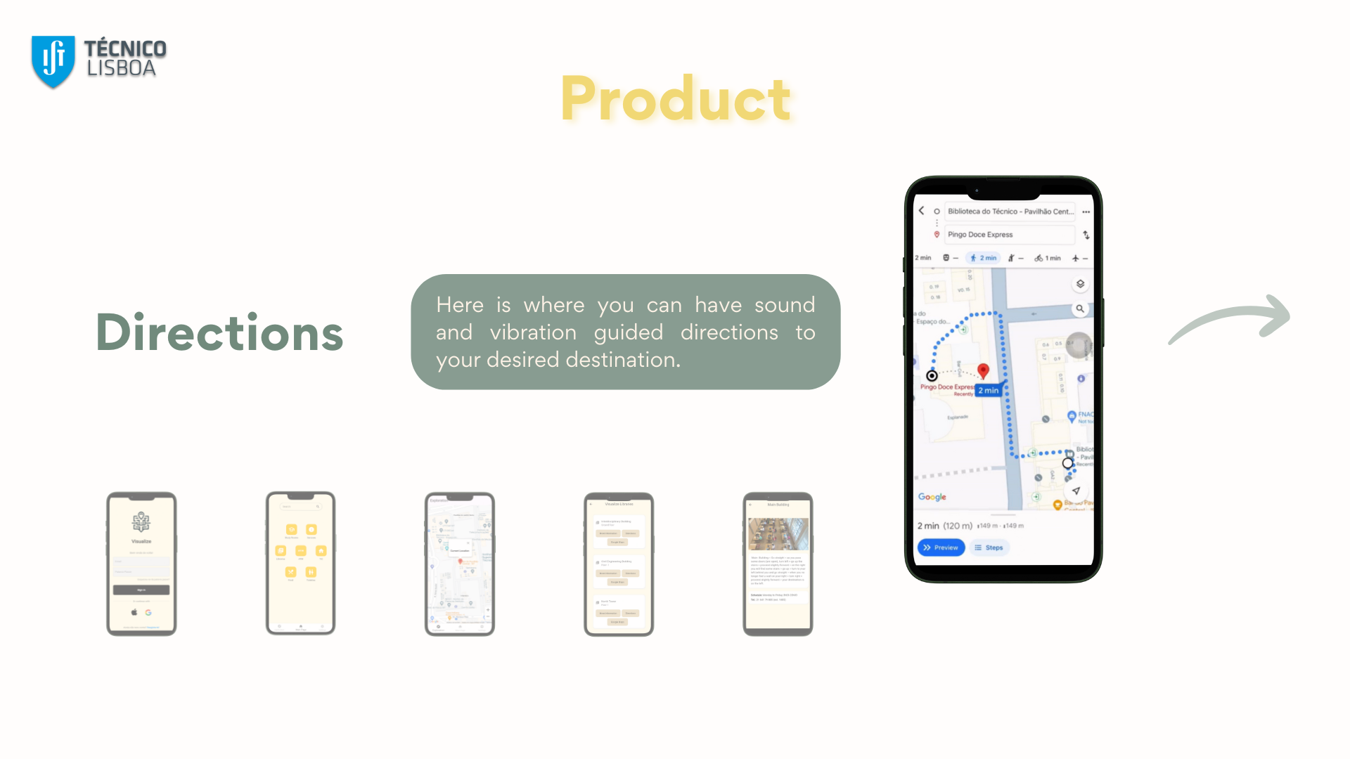
Although he already had a app for it it only pointed to the place so we challenged ourselves to integrate Google Maps’ directions in an app that not points (with haptics clues) to the correct direction.
We called it Visualize!
Development and Deployment of the App #
Research #
In the first part of the semester we did a lot of research on the topic.
We had meetings with APEC (Association for Support to Blind Education) who became our partners in this project. With their help we concluded, per example, that our app must have all icons labeled for voice-over functionalities to enable comprehensive audio navigation for both iOS and Android users.
We also researched other existing indoor solutions a few of them with open-source software like Osiris, Anyplace, Navigine and Google Maps (API).
We decided to go with Google Maps since it was already implemented in our university (all rooms were labeled and divided between floors).
Implementation #
For the design of the app we used Figma. and then transferred it to Flutter. This way we created a simple app compatible with a wide variety of operating systems (Web, IOS, Android).
I was in charge of integrating the Google Maps’s and the haptics clues with the cataloged locations.
Steps of the Navigation Function
- Parses the route provided by the Routes API into multiple segments.
- Determines the user’s current segment using real-time location data.
- Utilizes the phone’s compass to ensure the user is heading towards the beginning of the next segment.
- Transmits sound and vibration feedback to indicate the correct direction.
- Repeats the above steps continuously until the user reaches the destination.
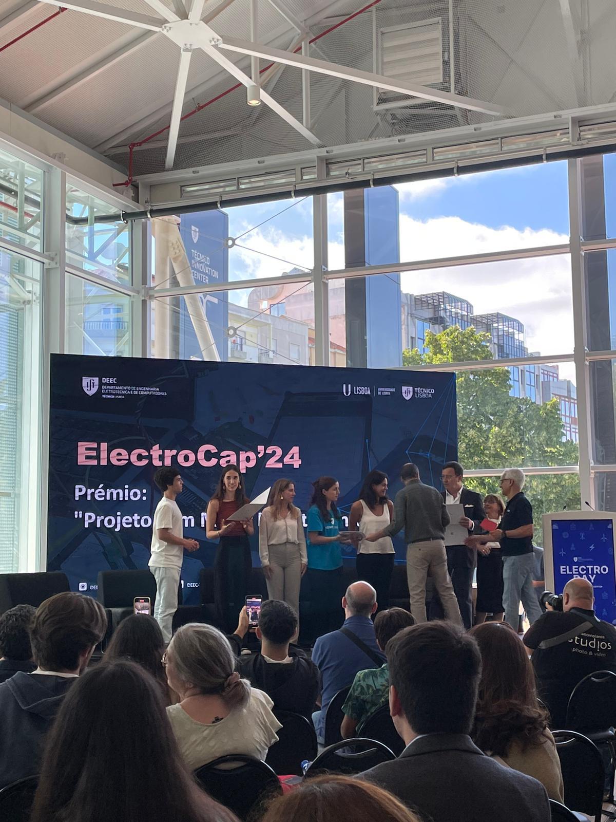
Sneak Peak into our final presentation
Outcome #
We’ve found that this system’s performance is markedly superior outdoors than indoors. Even in Android phones where Google uses Wi-Fi positioning indoor the accuracy is rather low and the routes are very limited.
Overall it was a great experience to learn how to work with Flutter and how to use Google’s API’s (namely Routes API).
In the Demo Day we were given the award for the best Website (link here), honorable mention for the Prototype and decided by the public second Best Overall Product.